Land Surveyors’ Guide: What Needs to Be Measured Before Any Deal Closes
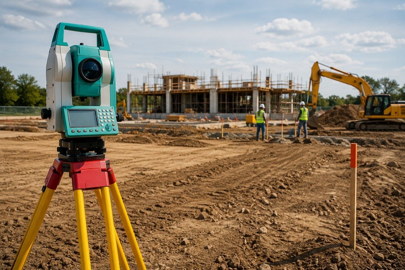
Before any agreement is finalized, physical measurements must match the legal records. Buyers and sellers rely on data, not guesses. Searching for experienced “land surveyors in my area” come into play. They ensure that what’s being bought or sold is clearly defined and backed by recorded data. From measuring distance and elevation to identifying limitations, early surveying eliminates disputes later. These checks build trust and help all parties understand the full picture.
Boundary Lines Aren’t Always Clear
Fences, walls, and tree lines often give a false impression of where one lot ends and another begins. These visible dividers rarely match actual lot lines. Surveyors step in to confirm the correct legal boundaries using historical records, markers, and precise field tools. Before any deal closes, identifying lot dimensions ensures that neither party misunderstands what is being transferred. This step reduces legal risks and improves transparency between buyers, agents, and legal professionals.
Check for Zoning Limits and Buildable Space
A property may appear open, but that doesn’t guarantee it can be used as intended. Surveyors look for restrictions that can impact construction, usage, and resale value. This includes setbacks, easements, and zoning limits. These details matter more than most expect, and they can delay projects or reduce value if ignored at closing. Proper surveying makes sure buyers get what they think they’re getting. In some cases, zoning classifications may change a buyer’s development plans entirely.
Measure Elevation for Drainage and Access
It’s not just the land’s size that matters—its shape does too. A flat-looking lot may have slopes that affect building plans or drainage systems. Surveyors measure elevation to help future owners understand any potential work that might be needed. These slope readings are essential for anyone planning driveways, home foundations, or utility installations. Even small elevation changes can affect grading plans or lead to standing water issues after construction is complete.
Confirm Access and Shared Use Rights
A deal should never close without checking if the land has legal access. Driveways, shared lanes, and nearby utilities must all be legally usable. Surveys can flag missing access rights or confirm shared rights-of-way. These details might not appear in a regular visual inspection but are critical during sale negotiations. Without proper access, even a well-located lot can lose substantial value or become unusable under current zoning laws or building codes.
Check for Utility Lines and Hidden Limitations
Buyers often don’t realize that underground lines can control how a space is used. A survey includes marking visible and recorded utility lines, which can influence construction plans. Knowing about these ahead of time helps avoid costly changes or permit rejections later. Ignoring this step could lead to legal conflicts or damage to essential infrastructure during future construction.
Don’t Skip Lot Size and Area Measurements
Title documents may list square footage or acreage, but only a verified survey confirms these numbers. Errors in these documents happen more often than expected. A lot may be slightly smaller—or even larger—than listed. Measurements made by trained professionals provide clarity and accuracy that appraisers and buyers can trust. These verified numbers also support financing, insurance, and valuation assessments, reducing delays in closing.
Why Early Surveys Support Better Deals
The right data makes negotiation easier. A clear understanding of measurements, limits, and rights lets both parties agree with confidence. Buyers use this verified data to plan, and sellers use it to build trust. Deals backed by strong survey data close faster and with fewer setbacks. It also simplifies the title process and makes lender approvals more efficient.
Work With Verified Experts
Not every surveying firm brings the same level of detail or care. Choosing the right professionals ensures you get a complete picture—without cutting corners. Always ask for licensing, review credentials, and confirm that the survey covers all relevant property details. Reliable work upfront avoids issues that can surface long after the contract is signed.
Closing Note:
Before any deal is signed, every boundary, feature, and potential limitation should be measured with care. A property boundary survey brings that clarity. At RealMapInfo LLC, our team ensures your investment is based on verified data—not assumptions. Whether you’re selling, buying, or planning future use, our experienced professionals offer reliable, clear results. We work closely with each client to deliver accurate surveys that protect your decisions and investments.
Make the smart move before you sign. Connect with RealMapInfo LLC today for a trusted survey that confirms every critical detail—on paper and on-site.
FAQs:
1. Why should I hire land surveyors before buying property?
They verify legal boundaries, measurements, and access to avoid future legal or construction issues.
2. What do surveyors measure during a property inspection?
They check land size, slope, boundaries, zoning limits, and utility lines for accuracy.
3. How long does a property survey usually take?
Most surveys are completed within a few days, depending on the land size and complexity.
4. Is a survey required for selling land or a home?
It’s not always required by law, but highly recommended to prevent boundary or title disputes.
5. What’s the difference between a basic and full survey?
A basic survey may only mark boundaries, while a full survey includes legal access, easements, and elevations.


Share On: