

Blog
RealMapInfo LLC

Protect your property investment. Discover why hiring a professional land surveying service is crucial for boundary accuracy, permits, and legal peace.

Summary: Topographic surveys provide critical site intelligence for property development projects. The blog explains how elevation data, terrain analysis, digital terrain models, drainage evaluation, budgeting accuracy, permitting preparation, and long-term planning support better development decisions. It highlights why developers, engineers, investors, and property owners rely on detailed site information to reduce risk, improve planning efficiency, and maximize project potential.

Summary: Professional land surveys help construction projects start with reliable site information. The blog explains how survey data identifies hidden site conditions, supports digital terrain modeling, improves budgeting, guides project planning, and reduces costly risks. It also highlights why developers, investors, engineers, and builders rely on accurate land data before construction begins, helping projects move forward with greater confidence and efficiency.

Discover the reasons you should call a land surveying service if you are thinking about selling your home. Learn the benefits of clarifying property lines.
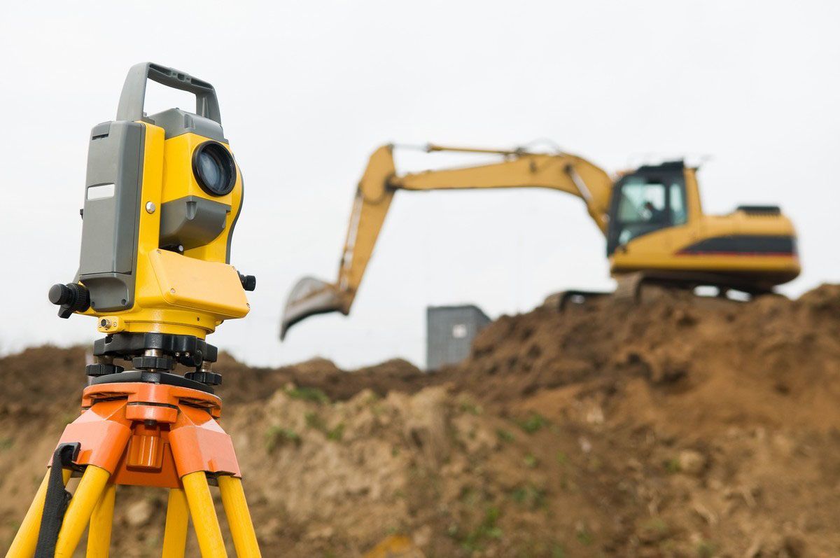
Are you wondering how private and public land surveying differ? This article breaks it all down for you so you know exactly who to call and what to expect.

Local Surveyor experts and a Licensed Land Surveyor helping ensure accurate boundaries, permits, and smooth residential or commercial construction projects.

Professional property boundary survey and property line survey services to pinpoint your exact property lines with certified results — learn more now!

Get accurate building permit plot plans from a trusted residential land surveyor near me. Ensure fast approvals, clear boundaries, and hassle-free construction planning.

Need accurate pool permit plot plans? Our professional land surveying services ensure fast approvals and precise land lines. Call today: 774-570-0642
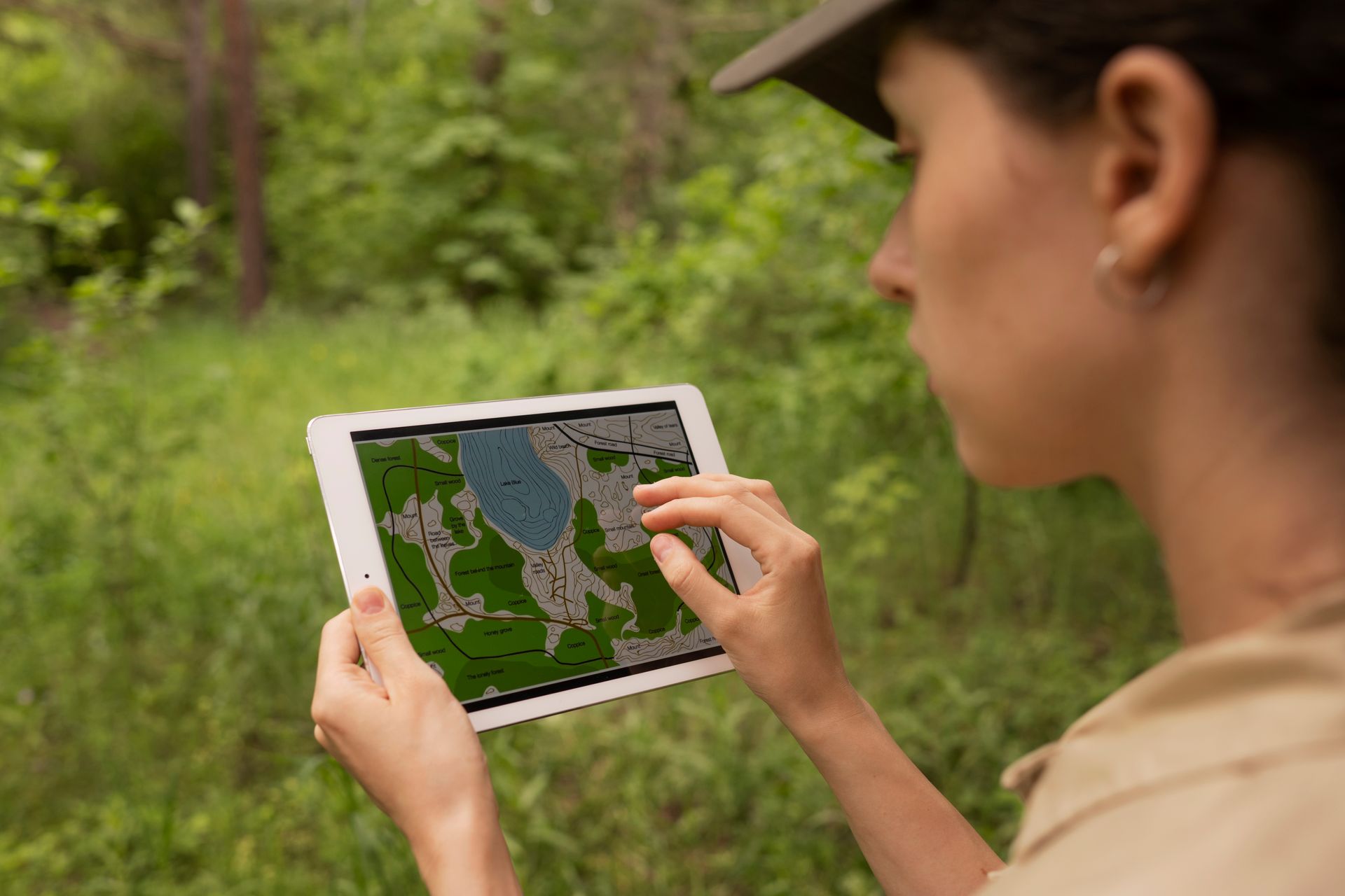
Discover how local land surveyors use technology and expertise. Learn how to get a plot plan accurately. Call 774-570-0642 today for expert help.
Share On: