

How a Land Surveyor in Holliston, MA Can Help Prevent Property Line Disputes
Summary: Accurate property boundaries help homeowners avoid disputes, construction delays, legal issues, and costly mistakes. This guide explains how professional land surveying verifies boundary lines, supports building projects, updates older property records, improves communication with neighbors, and creates reliable documents for future property transactions. It also highlights why expert surveying protects your investment and keeps every project moving with confidence and legal clarity.

Buying a home or owning land comes with many responsibilities. One of the biggest problems property owners face is a boundary disagreement. A small mistake about a property line can lead to costly legal issues, project delays, or problems with neighbors. Hiring a land surveyor in Holliston, MA, before building, adding a fence, installing a driveway, or making other outdoor changes helps you know the exact limits of your property. A professional survey gives clear facts that protect your investment and helps every project start with confidence.
Stop Problems Before They Begin
Many property line disputes begin because people trust old fence lines, verbal information, or rough sketches instead of verified survey data. Property markers may move, fences may not sit on the true boundary, and old records may not match today's site conditions. A professional land survey checks legal documents, field measurements, and physical evidence to identify the correct property limits. This process removes guesswork and gives owners reliable information before any work starts.
Small Measurement Errors Can Become Big Expenses
A difference of only a few inches may seem unimportant at first. Still, that small error can create major issues later. A new garage, patio, retaining wall, or addition built over a property line may need to be removed or changed. Contractors may have to stop work until the issue is solved. This often increases labor costs, material costs, and project time. A current survey helps avoid these expensive surprises by showing accurate boundary locations before construction begins.
A Survey Gives Builders the Right Starting Point
Construction teams depend on accurate site information. Builders use survey data to place structures in the correct location while following local setback rules and property limits. Clear boundary information helps architects, engineers, contractors, and permit offices work from the same verified plan. This keeps the project moving with fewer delays and reduces the chance of costly corrections during construction.
Old Property Records Do Not Always Match Today's Land
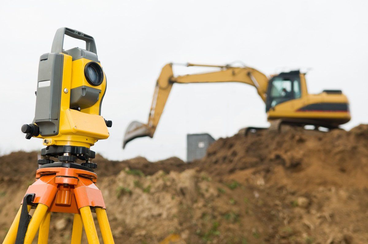
Many people believe older deeds or maps always show the correct property lines. In reality, land changes over time. Roads may shift, monuments may disappear, and earlier surveys may have used different measuring methods. Modern surveying equipment provides far better accuracy than many older records. Comparing legal documents with present field measurements helps surveyors identify differences before they become legal or construction problems. This updated information gives property owners greater confidence in every decision they make.
Clear Property Lines Help Neighbors Stay on Good Terms
Many neighborhood disagreements begin because two property owners believe the same piece of land belongs to them. A survey provides an unbiased record based on legal descriptions and field measurements instead of personal opinions. This clear information helps settle questions before they grow into serious disputes. Property owners can discuss future projects with confidence because everyone has the same reliable facts. Good communication supported by accurate survey data often prevents legal action and protects positive relationships.
Accurate Records Add Value for the Future
A professional survey does more than solve today's concerns. It becomes an important record for future property improvements, refinancing, property sales, and permit applications. Buyers feel more confident after seeing clear boundary information because it reduces uncertainty about the land. Lenders, attorneys, title companies, and design professionals also benefit from reliable survey documents that support smooth property transactions. Accurate records continue to provide value long after the first survey is completed.
Build Every Project With Confidence
Every successful project begins with reliable information. Building a fence, adding a swimming pool, creating a new driveway, or planning a home addition all require a clear understanding of property boundaries. Starting work without verified measurements increases the chance of delays, redesigns, and unexpected expenses. A professional survey gives property owners confidence that every improvement stays within legal property limits and follows local requirements from the beginning.
Ending Thoughts:
At RealMapInfo LLC, our goal is to help property owners make informed decisions with dependable surveying services. Our experienced team provides accurate boundary information that supports construction, property improvements, land purchases, and ownership confidence. Whether you are planning a small home project or preparing for future development, our surveying solutions help reduce risk before work begins. If you want trusted guidance from a professional land surveyor in Holliston or need reliable boundary information for your property, contact our team today. We are committed to delivering accurate results that protect your investment and give you peace of mind from the first measurement to the final report.
Frequently Asked Questions:
1. Why should I get a property survey before building a fence?
A property survey shows the correct boundary lines before construction starts. This helps avoid placing the fence on a neighboring property and reduces the risk of future disputes.
2. Can an old survey still be used today?
Older surveys may not reflect current site conditions or modern measurements. A new survey confirms accurate property boundaries and helps support safe planning for new projects.
3. How does a land survey help during home improvements?
A professional survey identifies exact property limits before construction begins. This helps homeowners plan additions correctly and avoid expensive changes or permit-related issues later.
4. Can a survey help solve a property line disagreement?
Yes. A professional survey provides verified boundary information based on legal records and field measurements. This helps property owners settle disagreements using accurate and reliable evidence.
5. Why is hiring a professional land surveyor important?
A qualified surveyor provides accurate boundary data that supports construction, property sales, permits, and land ownership decisions while helping reduce legal and financial risks.









Share On: