

What Information Does a Land Surveyor Provide for Large Construction Projects?
Summary: Large construction projects rely on accurate survey data before building starts. This guide explains how a land surveyor provides property boundaries, ground levels, site features, reference points, and reliable information that supports planning, design, permits, and construction. It also shows how professional surveying helps reduce errors, improve project coordination, and support informed decisions from start to finish.

Every large construction project starts with one simple need: clear and correct site information. A professional land surveyor in Lexington gives builders, engineers, architects, and property owners the facts they need before work begins. A land survey is much more than marking property lines. It shows what is already on the land, how the ground looks, and where new structures can be placed. Good survey information helps teams make better plans, avoid mistakes, and keep the project moving in the right direction from the very beginning. It also helps everyone involved work with the same accurate details, making communication easier and reducing the chance of costly errors as the project grows.
A Complete Picture of the Site Before Work Starts
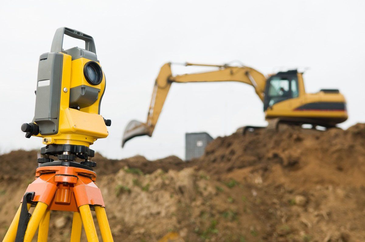
A large project needs a full understanding of the property before any design is created. A land surveyor visits the site and collects important information that cannot be guessed by looking at maps or old records. The survey shows the true size and shape of the property, the location of buildings, roads, driveways, utility features, and other visible site details. It also records natural features that may affect the project. This gives every person working on the project the same clear information, making planning easier and helping the team avoid changes later. Starting with reliable site data allows the design team to prepare drawings that match the actual property instead of relying on estimates.
Ground Information That Helps Build Safely
The land itself tells an important story. Some areas are higher, while others are lower. A land survey measures these ground levels across the property. Engineers use this information to plan drainage, prepare strong foundations, and decide how the site should be shaped before construction begins. Good ground information helps prevent problems that may slow down the project or increase costs later. It also helps construction teams understand how the land will support roads, parking areas, buildings, and other planned structures. Accurate ground measurements make each stage of construction easier to manage.
Clear Property Lines Build with Confidence
One of the most important parts of a survey is showing the correct property boundaries. A land surveyor marks the exact limits of the land so everyone knows where construction can take place. This helps builders stay inside the property and lowers the chance of future boundary problems. Clear property lines also help support permits, planning documents, and future property records. Property owners can move forward with confidence because they know the project is being built within the correct legal boundaries.
Site Details That Support Better Planning
Every piece of land has features that affect construction. A survey records the location of existing buildings, sidewalks, fences, utility structures, access roads, parking areas, and other visible features. These details help architects and engineers prepare plans that match the real site instead of making decisions based on guesses. Better planning often means fewer changes after construction starts. It also helps project teams organize equipment, building materials, and work areas in a safe and practical way before construction begins.
Survey Reference Points Keep Every Team Working Together
Large construction projects include many workers and different contractors. Every team needs the same starting point for their work. A land surveyor places fixed reference points across the property that stay in the same location throughout the project. Builders use these points to place foundations, walls, roads, and other structures in the correct position. This keeps every part of the project lined up correctly from start to finish. Working from the same reference points improves accuracy and helps every contractor complete their work according to the approved project plans.
Survey Information Helps Solve Problems Early
Many construction problems can be found before building starts if the survey is completed first. A detailed survey gives project teams the chance to review the site carefully and prepare for possible challenges. This allows better planning, smoother work, and fewer unexpected changes during construction. Good survey information helps everyone make smart decisions with confidence. Finding possible concerns early also saves valuable time and helps projects stay on schedule from the first stage through completion.
Accurate Survey Data Supports Every Stage of Construction
The value of a land survey does not end after planning. The same survey information continues to help during construction. Project managers, engineers, contractors, and inspectors all use the survey to check locations, compare measurements, and confirm that work follows the approved plans. Reliable survey data helps keep the project organized from the first day until the final stage. It also creates a trusted record that can be used for future improvements, maintenance work, or property updates after construction has been completed.
Closing Thoughts:
At RealMapInfo LLC, we believe every successful construction project begins with clear and reliable site information. Our team works closely with property owners, builders, engineers, and developers to provide accurate survey data that supports better planning and smoother construction. If you are looking for a trusted land surveyor in Needham, we are ready to provide the information your project needs from the first step to the final stage. Our goal is to help every client make informed decisions with confidence by delivering dependable surveying services that support successful construction projects of every size.
Contact RealMapInfo LLC today to schedule your land survey and begin your next construction project with confidence and accurate site information.
Frequently Asked Questions:
1. Why is a land survey important before starting construction?
A land survey provides accurate property details, ground measurements, and site information. This helps construction teams plan correctly, avoid mistakes, and complete projects with greater confidence and efficiency.
2. What information does a land surveyor collect on a construction site?
A land surveyor records property boundaries, elevations, existing structures, visible utilities, access points, and important site features that support planning, engineering, and successful construction activities.
3. How does a land survey help reduce construction problems?
Accurate survey data helps identify site conditions before work begins. This allows project teams to make better decisions, reduce unexpected issues, and improve overall project planning and coordination.
4. Who benefits from professional land surveying services?
Property owners, developers, architects, engineers, contractors, and project managers all benefit from reliable survey information that supports better planning and accurate construction decisions.
5. Why choose RealMapInfo LLC for land surveying services?
RealMapInfo LLC provides dependable survey information that supports confident planning and smooth construction. Our experienced team focuses on accuracy, reliable field data, and professional service for every project.









Share On: