Are Land Surveying Services Needed for Subdivision and Plot Division
Before dividing any parcel into smaller sections, a thorough understanding of its layout and legal boundaries is essential. This is where land surveying services become a non-negotiable requirement. Whether the land is being split for new construction or resale, precise measurements and documentation play a critical role in avoiding delays, violations, or costly corrections. Subdivision is more than drawing lines on a map. It involves following legal procedures, meeting zoning regulations, and ensuring usable access. Accurate surveys provide the foundation needed to move forward with confidence and clarity. These services help property owners, investors, and developers avoid future complications by ensuring every action is recorded and compliant with current local codes.
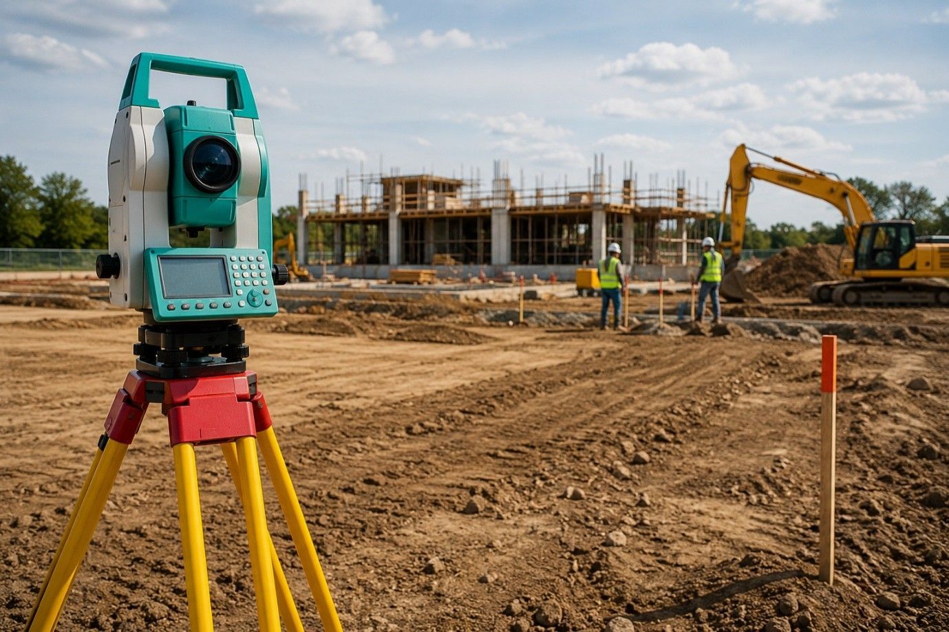
Breaking Ground: Why Surveys Come First
Before any subdivision project starts, a land survey confirms the total area, legal descriptions, and any recorded rights associated with the property. This information ensures that each new lot meets the minimum size, frontage, and access requirements set by local planning offices.
Surveyors use official records and field data to validate lot lines. Their work helps avoid setbacks that could arise from incorrect assumptions or outdated documents. In many areas, providing an accurate, up-to-date survey is a prerequisite before any formal application is accepted by the planning department.
These early steps ensure that the subdivision plan will not face obstacles further into the process, helping property owners save both time and resources.
Legal Compliance: Meeting Regulatory Demands
Subdivision is governed by strict rules set by city and county planning departments. Surveyors prepare plats that align with zoning rules, right-of-way access, and required easements.
Failure to meet these standards may lead to rejected permits or legal delays. A professional survey ensures that each new lot complies with local land use codes before filing plans.
Municipal approval processes rely on these certified documents to evaluate submissions. Without them, applications may be incomplete or inaccurate. Each regulatory body has its own standards, and surveyors with local knowledge ensure the plan follows those specific expectations.
Creating Accurate Parcel Layouts
Once a property is approved for division, clear measurements are needed to separate each lot. Surveyors define the exact size and shape of each parcel and confirm that shared boundaries and roads are properly marked.
These records are used to update title documents and county maps. Each new parcel needs to have clearly defined borders to be sold, financed, or developed.
Well-prepared layouts prevent future legal disputes between lot owners and allow developers to plan site layouts confidently. This process ensures the land is ready for long-term use and development.
Utility Planning and Access Points
Access to power, water, and road connections must be included in the layout of each lot. Surveyors show where utility lines and legal access paths are located or where they need to be created.
Planning this during the subdivision stage avoids issues during construction. It also helps developers and buyers understand what is already available on each lot.
Without a clear utility and access plan, a parcel may not qualify for building permits or be less appealing to future buyers. Identifying all infrastructure connections early also helps manage construction budgets and reduce scheduling issues.
Supporting Residential and Commercial Development
Subdivision often supports housing growth, rental unit development, or small business plots. Whether it’s for a group of homes or a mixed-use layout, the project must follow precise measurements and approved plans.
Surveyors help clients prepare site maps that align with intended use and building plans. This early step reduces the chance of rework or design changes during the construction phase.
Proper subdivision planning also assists with financing and lender approvals. Accurate documentation supports property valuations and future sales. Projects move faster and face fewer objections with a complete survey on file.
Title Updates and Sale Readiness
Each newly created parcel needs its own title record and legal description. Surveyors provide the information required to update deeds and file land changes with local authorities.
Survey records are used by title companies, attorneys, and escrow officers during closing. Without current surveys, the sale or transfer of subdivided lots may face delays or be denied altogether.
For developers, having these documents ready supports smoother transactions and helps buyers move forward without unexpected legal barriers. It also builds trust with lenders and investors.
Closing Note:
Subdivision isn’t just about dividing space, it’s about following process, ensuring access, and confirming that every square foot is legally usable. Choosing professionals who understand these demands is vital. A residential boundary survey is not only helpful, it’s often required to confirm and record the legal layout of each parcel created through subdivision. At RealMapInfo LLC, our experienced team handles each subdivision project with care, accuracy, and full knowledge of Texas land regulations. Whether you are dividing one property or planning a multi-lot project, our services support your goals while reducing risk.
Start your subdivision project the right way. Contact RealMapInfo LLC today for accurate, compliant surveying solutions built around your needs.
FAQs:
Q1: Is a land survey necessary before dividing a property?
Yes, it ensures each new section meets zoning rules, legal requirements, and access standards.
Q2: Who can provide legal surveys for subdivision?
Licensed land surveyors are authorized to perform subdivision surveys and prepare plats for approval.
Q3: What is included in a subdivision survey?
It includes property boundaries, lot measurements, access points, zoning data, and easement locations.
Q4: Can subdivision be done without a survey?
No, most counties require an approved survey for any legal plot division or record change.
Q5: How does surveying help future development?
It provides verified data for planning, permitting, and ensures compliance for construction or resale.


Share On: