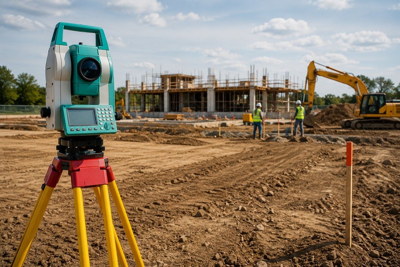
What Information Do Property Surveyors Include in Their Reports
Getting a land survey isn’t just a formality; it’s a necessary step in securing your investment. Whether you’re planning to build, buy, or subdivide, working with “property surveyors in my area” can help you avoid costly issues and delays. At its core, a surveyor’s report answers one simple question: what exactly is included in the property you’re dealing with? But the value goes much deeper. These reports provide a legally recognized view of the land, its boundaries, rights, and existing features, all backed by licensed expertise. These documents are often required by lenders, municipalities, and legal professionals. They play a central role in resolving legal descriptions, clarifying ownership details, and confirming buildability.
Defining the Boundaries That Matter
One of the primary functions of a surveyor’s report is to establish the exact boundary lines of a parcel. This isn’t based on assumptions or visible fences. Surveyors use detailed legal descriptions, public records, and precise field measurements to identify where a property begins and ends.
Clear boundaries help avoid future conflicts with neighboring lots, ensure legal compliance, and support clean transactions. This becomes especially important before fencing, development, or transferring ownership.
By validating legal lot dimensions, surveyors reduce risk during transactions and make sure titles and deeds align correctly with the actual land layout.
Easements and Legal Land Access
Many properties come with shared rights of use, called easements. A survey outlines whether utility companies, neighbors, or municipalities have limited access rights across parts of the property.
These rights often go unnoticed until a conflict arises. A clear record of them helps owners plan responsibly while staying within legal limits. The survey also identifies if any usage restrictions apply due to zoning or local planning rules.
Buyers, builders, and developers rely on this data to ensure long-term plans stay clear of legal or logistical complications. It’s a critical part of due diligence that shouldn’t be skipped.
On-Site Structures and Their Placement
Surveyors document the physical location of buildings and other permanent features on the land. Their report will confirm that these elements fall within approved limits and don’t violate setback rules or land use regulations.
This step matters during refinancing, permitting, or renovation. Knowing what’s properly placed—and what’s not—protects both buyers and owners from future legal or financial setbacks.
Accurate placement records can also support insurance assessments and help identify whether older additions have proper clearance or approvals.
Natural Land Features and Elevation Points
While often overlooked, natural terrain details can shape how land is used. Surveyors note slopes, drainage paths, elevation changes, and other topographic information relevant to building design, grading plans, or site drainage.
These insights are especially helpful in construction planning. They support safe, code-compliant decisions while helping avoid poor placement or costly rework.
Landowners planning to landscape or install driveways and grading systems benefit from this level of detail early in the planning process.
Zoning Use and Compliance Checks
Zoning rules determine what can legally be done with a property. Survey reports provide zoning classifications along with any variances granted. This allows landowners to know whether their intended use aligns with local policy.
For example, a buyer wanting to add rental units or commercial space must ensure the zoning supports it. A survey gives clarity before money and time are invested.
It also provides documentation that can be used when submitting building permits or rezoning requests to local authorities.
Physical Access and Entry Points
Access is one of the most vital parts of a property. A survey shows all legal and physical entry routes, whether they are private, shared, or public. Without confirmed access, permits, sales, or development can be delayed or even denied.
Surveyors validate that the property is not landlocked and that roads or paths meet legal standards. This section of the report safeguards against future issues related to transportation and usage rights.
Knowing all entry points helps developers plan driveways, entrances, or fencing without impacting existing access permissions.
Flood Zone and Utility Data
Many reports will highlight whether the land sits in a mapped flood zone. This can affect insurance, resale value, and construction approvals. Utility lines, if located and marked, are also recorded for safety and planning.
These facts may seem small but play a big role during site work, inspections, or infrastructure upgrades.
Contractors, engineers, and buyers all rely on this part of the report to prepare for development and avoid complications with city inspections.
Final Look:
Working with “local surveyors in my area” ensures the report reflects both legal standards and on-the-ground knowledge. Familiarity with city records, zoning rules, and community requirements makes a real difference in report quality and accuracy. At RealMapInfo LLC, our licensed professionals deliver trusted, field-based survey solutions for residential and commercial properties across Texas. Our reports are detailed, legally compliant, and tailored to your specific land needs. From lot boundary checks to subdivision planning, we offer more than data; we deliver confidence.
Let RealMapInfo LLC help you move forward with clarity. Contact our team today to book a survey or learn more about how we can support your next land decision.
FAQs:
Q1: Why do I need a property survey?
A survey ensures your land boundaries, zoning, and legal rights are verified before making property decisions.
Q2: Who typically requests a survey report?
Homebuyers, developers, lenders, and legal professionals request surveys for accurate land details and documentation.
Q3: How long does a property survey take?
Time varies by property size, but most residential surveys are completed within a few business days.
Q4: What does a surveyor check on-site?
Surveyors assess boundaries, structures, access points, elevation data, and rights associated with the property.
Q5: Can I use an old survey for a new project?
Old surveys may not reflect current conditions or regulations; a new report is usually recommended.


Share On: