How Survey Boundary Lines Affect Your Site Plan for a Building Permit
Knowing exactly where your property begins and ends is essential for any construction project. Accurate survey boundary lines make sure your plans stay within legal limits and prevent costly mistakes. A clear survey helps homeowners and builders make smart decisions and ensures a smooth approval for a site plan for a building permit. Understanding your property’s true dimensions also allows for better planning of landscaping, extensions, or future improvements.
Why Wrong Boundaries Can Be Costly
Many homeowners trust fences, old markers, or memory to mark property lines. Even a small mistake can cause disputes, fines, or the need to remove buildings. Survey boundary lines show exactly where your property ends, preventing problems before construction starts. For example, a misplaced fence or garage could result in legal action from a neighbor or require costly relocation. This clarity saves money and protects your investment. Knowing the exact limits also helps in planning renovations or additions without overstepping boundaries.
Find Hidden Land Problems Early
Some property issues are not visible. Encroachments, slopes, or easements can stop your building plans if missed. A detailed survey spots these problems early, letting you adjust your site plan before applying for permits. For instance, a small slope may affect drainage or a backyard addition. Fixing these issues early avoids expensive redesigns and delays. Surveys also identify areas that may require special approval or adjustments to meet municipal codes, ensuring smoother project management.
Protect Your Investment
Building or improving property costs time and money. Accurate survey lines keep buildings, fences, and landscaping inside your property. Surveys also provide proof of ownership, protect your investment, and help when selling your home. Knowing the exact layout of your land lets you plan safely and confidently. Additionally, proper documentation increases property value, as potential buyers can see clear boundaries and legal compliance. Having a professional survey gives peace of mind for long-term investments and any future construction projects.
Plan Your Site Efficiently
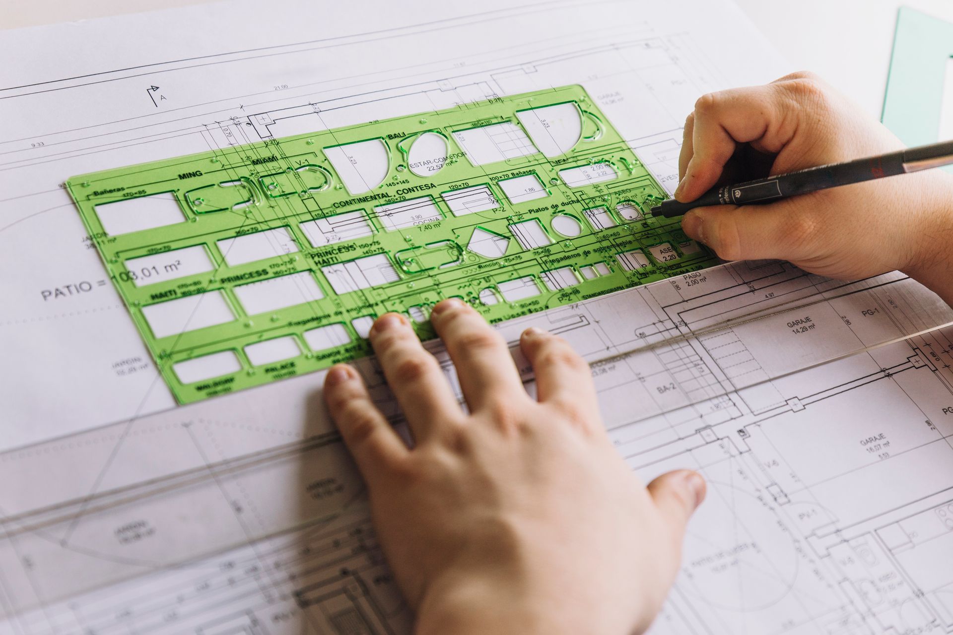
A clear site plan for a building permit needs exact boundary data. Survey lines guide architects and engineers to use space wisely, follow setback rules, and meet zoning laws. Correct measurements help avoid permit rejections and speed up project approvals. For example, knowing the exact dimensions of your lot can help design an optimized building layout, create a safe driveway, or plan green spaces effectively. Accurate planning reduces waste, saves costs, and ensures the project meets all legal requirements.
Easements and Restrictions You Must Know
Some properties have utility lines or shared access that may not be obvious. Surveys show these limits, so you do not build over them. Knowing easements early keeps projects legal and prevents conflicts with neighbors or authorities. For example, you may find that a corner of your yard cannot be used for a structure because of a buried water line. Understanding these limitations allows you to adjust your plans in advance, avoiding costly mistakes or fines during construction.
Modern Tools Make Surveys Accurate
Today, surveyors use GPS, drones, and laser tools to get very accurate results. Digital maps show corners, distances, and land slopes clearly. These measurements help create error-free site plans, reduce construction risks, and make planning easier. Advanced tools also allow for 3D visualizations, which help homeowners and contractors understand the land better. Accurate data from these tools can prevent misalignment issues, ensure proper drainage planning, and guide the placement of outdoor features such as patios or decks.
Prevent Neighbor Disputes
Disagreements often start over fences, driveways, or small extensions onto neighbors’ land. Surveys provide proof of your property lines and prevent conflicts. Clear documentation also helps maintain good relationships and provides legal support if issues arise. For instance, a clear survey can be presented to neighbors or local authorities if there is any question about property limits, which avoids unnecessary arguments and legal fees. This proactive approach saves time, money, and stress while keeping community relations positive.
In Closing:
At RealMapInfo LLC, we provide detailed survey boundary line services for homeowners and builders. We map every corner, line, and easement carefully. Our team also helps create a site plan for building permit, guiding you through approvals easily. We make sure your land is fully documented, safe, and ready for any project. With our expertise, you can avoid construction delays, boundary disputes, and zoning issues. Our surveys include easy-to-read maps and diagrams, making it simple for homeowners, contractors, and municipal authorities to understand your property layout clearly. A professional survey ensures compliance, reduces risk, and supports long-term investments, giving you confidence in every decision.
Schedule a professional survey with RealMapInfo LLC now. Confirm your boundaries, create accurate site plans, and start your project confidently.
FAQs:
1. Why are survey boundary lines important before construction?
Survey boundary lines confirm the exact limits of your property. This prevents legal issues and ensures your plan meets city rules.
2. What happens if a building crosses a property line by mistake?
You may be asked to remove or alter the structure. It can also lead to fines or disputes with neighbors.
3. Is a professional survey required for a site plan for a building permit?
Yes, most local authorities ask for a precise survey to approve the site plan. It proves the building fits within legal limits.
4. How long does a land survey usually take?
A simple residential survey may take a few days. Larger or complex land areas can take longer based on size and conditions.
5. Can old survey records be used for a new building permit?
Old surveys may not have updated details like new fences, easements, or land changes. A fresh survey is more accurate and accepted by permit offices.


Share On: