

Are You Sure Your Backyard Is Entirely Yours? Get a Residential Land Survey Today
Owning a home is exciting, but have you ever wondered if your backyard really belongs to you? Misunderstood property lines or hidden encroachments can lead to costly problems. A residential land survey gives you a clear picture of your property, protecting your home and your peace of mind. Knowing exactly where your land starts and ends is important for every homeowner. It helps prevent disputes with neighbors, ensures your property is legally defined, and prepares you for future construction or landscaping projects.
Why Property Lines Can Be Confusing
Many homeowners trust old deeds, memories, or fences to mark their land. Over time, these markers can fade, move, or disappear. Natural changes such as tree growth, soil erosion, or road construction can shift property lines subtly but significantly. Surveyors use precise tools to measure property lines, corners, and other key points. Without a survey, even small mistakes in boundary lines can cause legal issues or disputes with neighbors. In some cases, homeowners might accidentally build structures or plant trees that cross into a neighbor’s property, which could lead to costly legal action.
Spot Hidden Encroachments Early
Sheds, fences, patios, or plants can accidentally cross into a neighbor’s land. A professional survey shows these issues before they become a problem. Catching them early saves time, money, and stress, and ensures your home remains fully yours. It also helps homeowners plan improvements confidently. For example, if you are thinking of expanding a patio, planting a garden, or putting up a new fence, knowing exactly where your property ends ensures you won’t infringe on neighboring land. This knowledge also helps prevent disagreements and keeps relationships with neighbors friendly.
Protect Your Investment with Proof
Your home is one of your biggest investments. A survey gives you legal proof of your property lines, which can help during sales, improvements, or disputes. It also shows your property’s true size and shape, helping you make better decisions and protecting your investment. When selling your home, a verified survey can give buyers confidence in their purchase, potentially increasing your property’s value. It also helps with insurance claims, property taxes, and financing, as lenders often require proof of boundaries. A clear record of your land protects you from unexpected problems in the future.
Plan Home Projects Safely
Home projects like adding a deck, building a garage, or putting up a fence need accurate boundary info. A residential land survey helps you plan safely and meet legal rules. Local authorities require proper survey details to approve construction, which prevents delays or expensive mistakes. Even small projects like installing a driveway or a shed benefit from precise survey data. By knowing your boundaries, you can make the most of your available space, avoid wasting resources, and prevent unnecessary disputes.
Know About Easements and Rights of Way
Some properties have hidden access paths, utility lines, or easements you may not see. Surveys reveal these details, letting you plan projects without running into trouble. Knowing about easements ahead of time saves headaches and ensures you follow the law. Easements allow others to use part of your land for specific purposes, like utilities, drainage, or shared access. If you unknowingly block an easement, you could face fines or legal action. A survey ensures you respect these areas while maximizing the use of your own property.
How Modern Tools Make Surveys Accurate
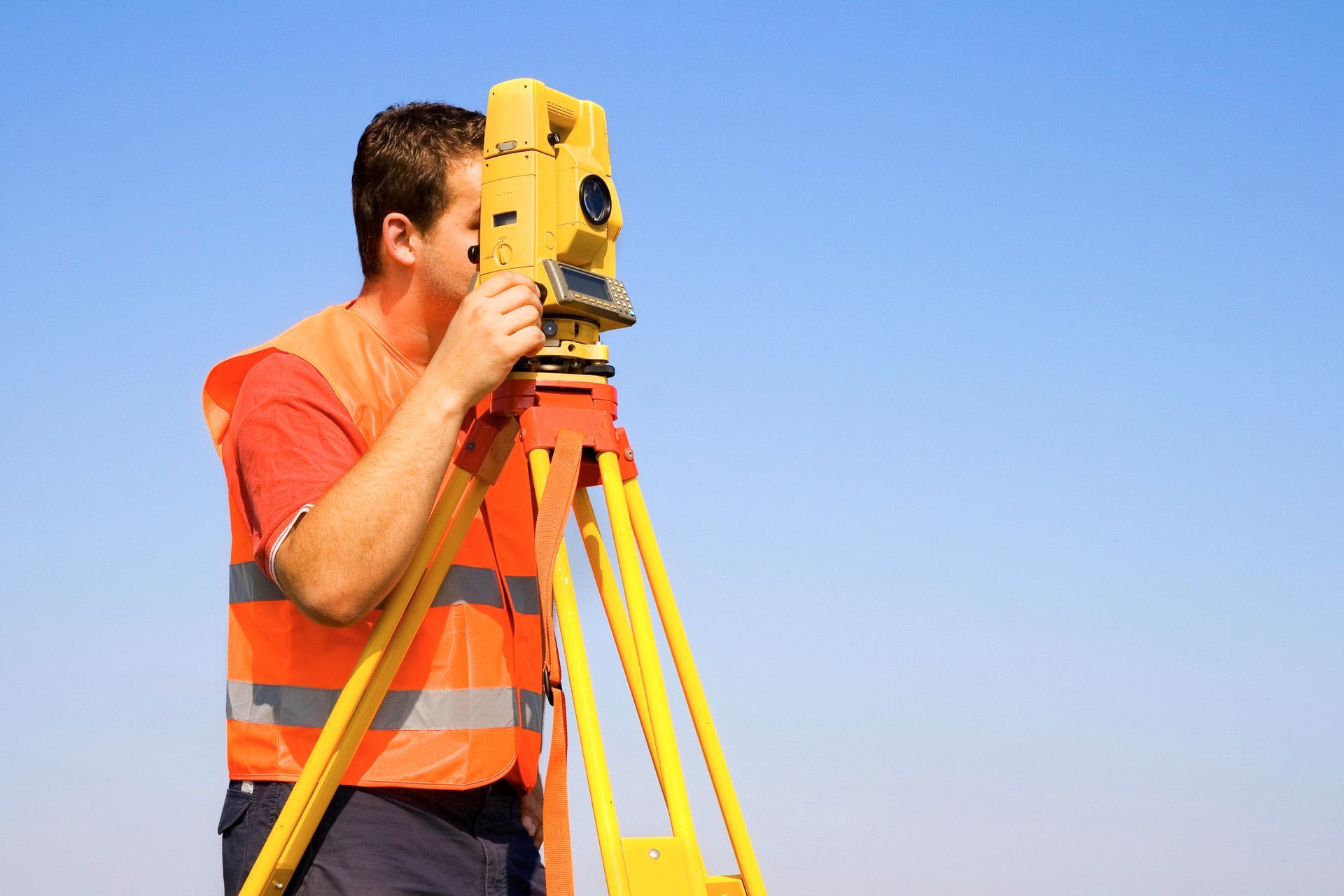
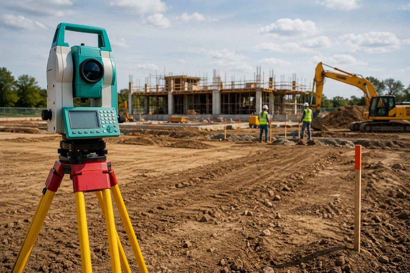
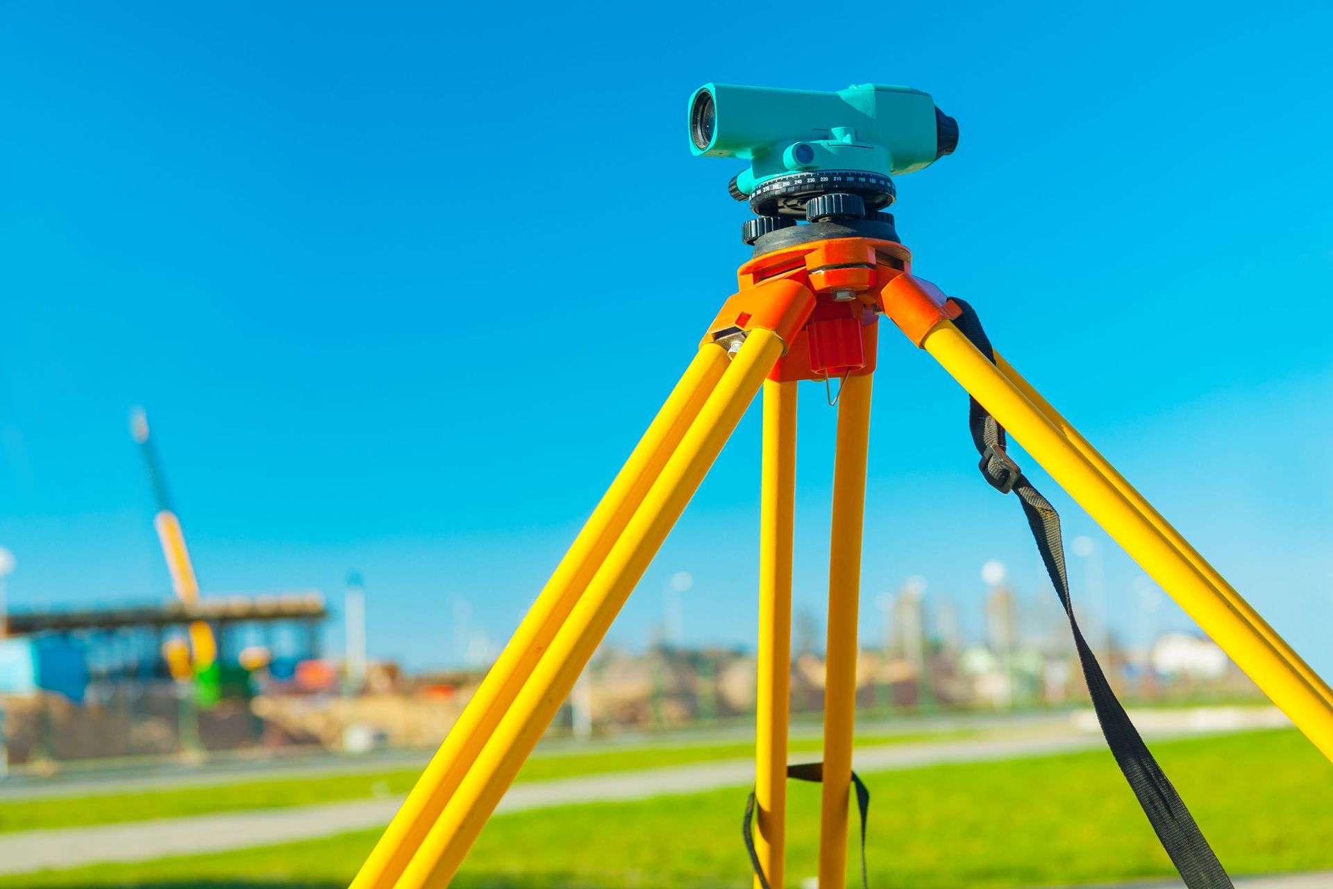
Today, surveyors use GPS devices, drones, and laser tools to measure property lines precisely. These tools find corners and measure distances to the inch. Compared to older methods, modern surveys are more accurate, reliable, and easy to share with builders or officials. Digital mapping allows homeowners to view detailed property layouts, making it easier to plan construction or landscaping. Some surveyors also provide 3D models, which give a clear visual representation of your land and highlight any potential issues that might not be obvious from the ground.
Avoid Fights with Neighbors
Property disputes often start over fences or shared driveways. A survey provides clear proof of your property lines, reducing conflicts and protecting your rights. It also helps neighbors understand boundaries, keeping relationships smooth. Surveys can prevent misunderstandings that arise from assumptions, old markers, or informal agreements. A professional survey acts as a neutral, authoritative record that can resolve disputes before they escalate. In cases where legal action is unavoidable, a survey provides concrete evidence to support your case.
Closing Note:
At RealMapInfo LLC, we offer complete and accurate residential land survey services. Our team checks every corner, boundary, and easement carefully. We also guide homeowners with building permit services, making approvals faster and easier. We help you manage your property confidently, from mapping your land to planning improvements. Our experts explain the survey results clearly, so you fully understand your property boundaries and any limitations. By working with us, homeowners gain peace of mind knowing their property is properly documented and legally protected. Don’t wait for hidden problems or disputes to appear. A survey can prevent costly mistakes, ensure smooth home projects, and secure your property rights.
Schedule your residential land survey with RealMapInfo LLC today. Protect your property, plan your projects safely, and enjoy peace of mind knowing your land is truly yours.
FAQs:
Q1: What is a residential land survey?
It is a professional measurement of property boundaries to define ownership and prevent disputes.
Q2: Why do I need a land survey for my home?
It ensures accurate boundaries, helps with construction, and protects property rights.
Q3: Can a survey prevent disputes with neighbors?
Yes, it provides clear proof of property lines, reducing misunderstandings and legal conflicts.
Q4: How often should a property be surveyed?
Surveys are recommended before construction, land purchase, or when boundary markers are unclear.
Q5: Do surveys help with building permits?
Yes, accurate survey data is required by authorities to approve construction and home projects.



Share On: