How Do Local Land Surveyors Combine Technology and Expertise for Precision?
For anyone dealing with land development, construction, or property boundaries, local land surveyors are very important. These experts use their skills and smart tools to make sure every measurement is correct. Their work helps make sure buildings are in the right place, legal rules are followed, and property decisions are safe. Accurate land information is important for homeowners, builders, and business owners. Local land surveyor don’t just measure land; they provide the foundation for every project. From residential construction to commercial development, their data ensures the project starts with clear boundaries and reduces the risk of disputes. Understanding the land helps investors make the right choices and homeowners avoid costly mistakes.
High-Tech Tools for Exact Measurements
Modern surveyors use advanced tools to measure land accurately. GPS devices, robotic measuring machines, and laser scanners help map properties in detail. The data collected is turned into clear maps using computer software. These tools help reduce mistakes and make sure surveys are correct, whether it is a small backyard or a big commercial area.
For example, laser scanners can create a 3D image of the land, showing every slope, depression, and feature. Robotic total stations allow surveyors to measure long distances quickly and record points automatically. These devices not only save time but also make surveys far more precise than older methods.
Experience That Matters
Even with modern tools, skill and knowledge are very important. Surveyors read the land, check slopes, and verify measurements. They know property laws, zoning rules, and easements, so their work is legally correct. Using both skill and technology ensures results are reliable.
A skilled surveyor can spot issues that machines alone might miss. For instance, they can identify potential flooding areas or encroachments from neighboring properties. This insight is crucial for avoiding legal issues and planning effective land use.
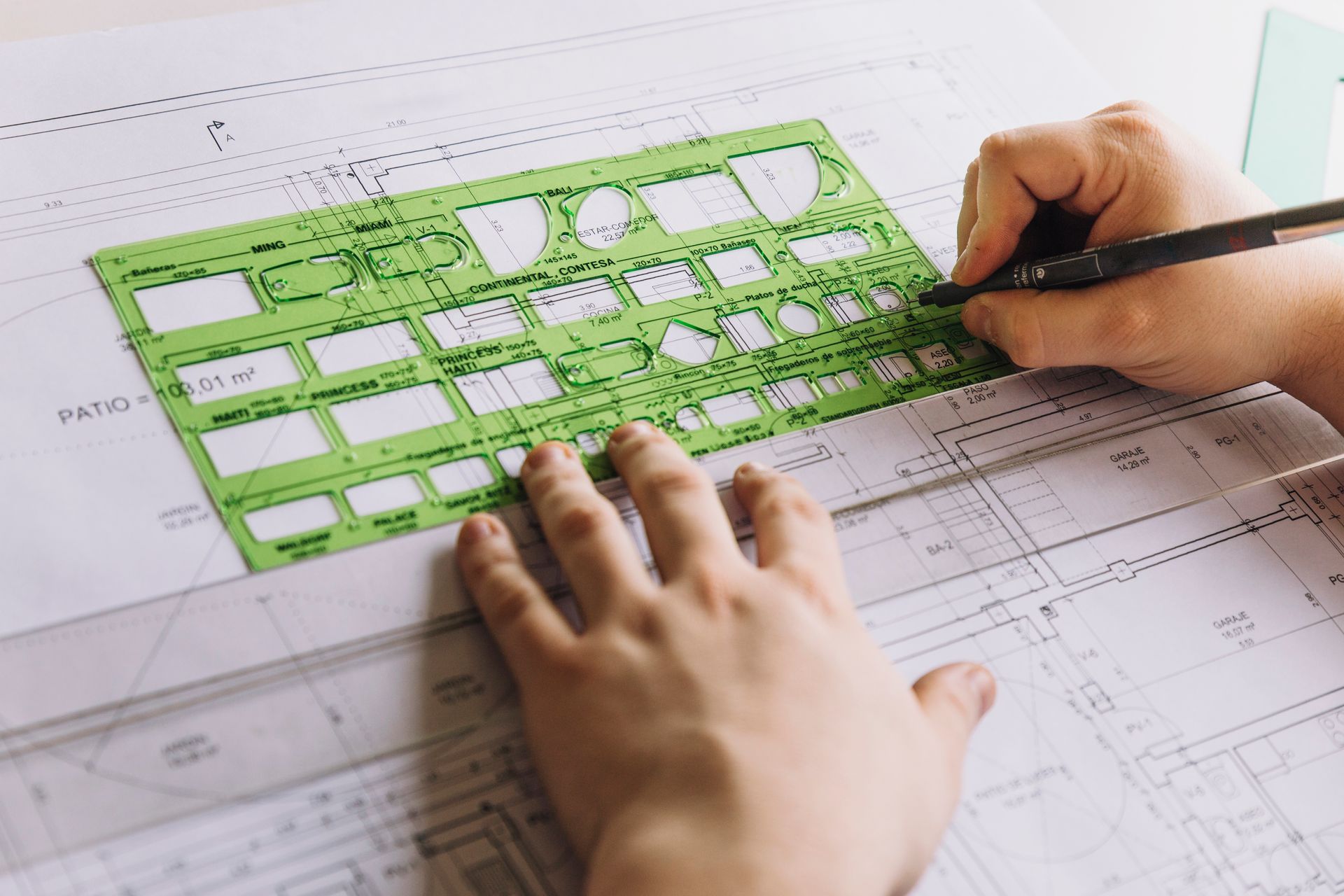
Clear Maps and Models
Surveyors turn the information they collect into easy-to-understand maps. They create boundary maps, site plans, and 3D models of the land. These maps help builders, engineers, and property owners see exactly how the land looks. This reduces mistakes and saves money by planning work carefully.
3D models are especially useful for complex sites. Builders can visualize slopes, drainage, and obstacles before construction begins. This makes planning easier and ensures resources are used efficiently. Clear maps also help in presenting information to banks, investors, or municipal authorities, making approval processes smoother.
Spotting Problems Early
Accurate surveys can show possible problems before construction starts. Surveyors check drainage, slopes, and access points to avoid costly errors. They provide clear reports that show property lines and important features, which can also be used in legal matters.
Early identification of problems allows developers to plan solutions before starting work. For example, if a part of the land is prone to water accumulation, adjustments can be made in the design phase rather than after construction, saving time and money.
Working Together for Better Results
Surveyors work with architects, engineers, and builders to make sure plans match the land. They guide where buildings, fences, and roads should go. This teamwork avoids mistakes and makes the project run smoothly.
Good communication between surveyors and construction teams ensures that everyone is working from the same accurate data. Misalignment between plans and actual land can lead to delays, extra costs, and disputes. Surveyors prevent this by providing clear, verified measurements from the start.
Smart Solutions for Tough Sites
Some land is tricky, like uneven or hard-to-reach areas. Surveyors use drones, aerial images, and 3D scanning to measure these lands accurately without damaging them. These smart solutions make surveys precise even in hard situations.
Drones are especially useful for surveying large properties quickly. They provide aerial views that reveal issues not visible from the ground. Combined with 3D scanning, this technology gives surveyors a full understanding of the land, even in areas where access is limited.
Easy Guidance for Property Owners
Knowing exact property boundaries is important for homeowners and investors. It helps with planning, building, or selling property. Surveyors provide clear and simple reports to explain the land clearly. Clients can also learn how to get a plot plan to make confident property decisions.
Property owners often need surveys to resolve disputes or confirm boundaries before construction. Surveyors can explain the data in simple terms, ensuring clients understand their land fully. This clarity helps people make smart decisions without confusion or guesswork.
Final Words:
At RealMapInfo LLC, we combine experience and advanced tools to provide exact and trustworthy land surveys. Whether you need a boundary survey, a plot plan, we give clear and reliable information to help your projects succeed. Every measurement we provide is carefully checked and professionally done. Contact RealMapInfo LLC today to get your survey and learn how to get a plot plan for your property with confidence. Our team ensures that every project starts with the right data. We help homeowners, builders, and businesses save time, avoid mistakes, and plan effectively. By providing easy-to-understand maps and accurate reports, we make land decisions simple and reliable. Let us help you make your property work exactly how you want.
FAQs:
1. What do local land surveyors do?
They measure and map land accurately to define boundaries and support construction or legal needs.
2. Why is technology important in land surveying?
Advanced tools like GPS and 3D scanners make measurements faster and more precise.
3. How do surveyors ensure legal compliance?
They follow property laws, zoning rules, and easement regulations to provide certified surveys.
4. Can surveyors help with complex land areas?
Yes, drones and 3D scanning allow precise surveys of uneven or hard-to-reach sites.
5. Why are plot plans useful for property owners?
They show exact property boundaries, helping in construction, investment, or dispute resolution.


Share On: