Professional Land Surveying Services & Pool Permit Plot Plans
If you are dealing with unclear property boundaries, professional land surveying services can give you accurate and reliable measurements. Knowing your land lines is important for building, selling property, or avoiding fights with neighbors. Surveyors use both experience and smart tools to provide correct results, making sure every project starts the right way.
Clear land measurements protect your investment and prevent expensive mistakes. Whether you are building a house, putting up fences, or planning landscaping, exact land lines give you control and confidence. Understanding boundaries also helps homeowners plan for future additions, garden layouts, or even selling part of their property safely.
How Surveying Stops Guesswork
Property lines are not always easy to see. Many people assume they know where their land begins and ends, but this can lead to disputes or project delays. Professional surveyors check official records, review past surveys, and measure the land carefully to give accurate, updated boundaries. This removes doubt and makes sure all work follows local rules.
Surveying also helps property owners avoid accidental encroachment on neighbors’ land. Even small mistakes in boundary placement can lead to legal issues. Having a professional survey ensures that every corner of the property is correctly identified and documented.
Tools That Give Accurate Results
Modern surveyors do more than just measure by hand. GPS devices, robotic measuring machines, and laser scanners help surveyors map land very precisely. The information is processed using computer software to make digital maps showing slopes, heights, and property edges.
For tricky land or big properties, drones and aerial pictures capture areas that are hard to reach. Combining technology with skill ensures nothing is missed.
Some surveyors also use 3D scanning to model uneven land. This technology helps architects and builders see how buildings will fit into the existing landscape. It also helps identify low areas that could flood or steep sections that may need extra support.
Why Experience Matters
Tools alone cannot guarantee correct results. Surveyors read the land, notice slopes, and check for legal rules like easements or zoning. Their experience ensures measurements are correct for building, selling, or planning projects.
Surveyors also spot problems early, like areas that might flood, property boundaries that overlap, or mistakes in old surveys. This saves time, money, and future problems.
Experienced surveyors know how to handle conflicting records or old boundary markers. They can compare historical maps with current measurements to give clients a clear picture of their land.
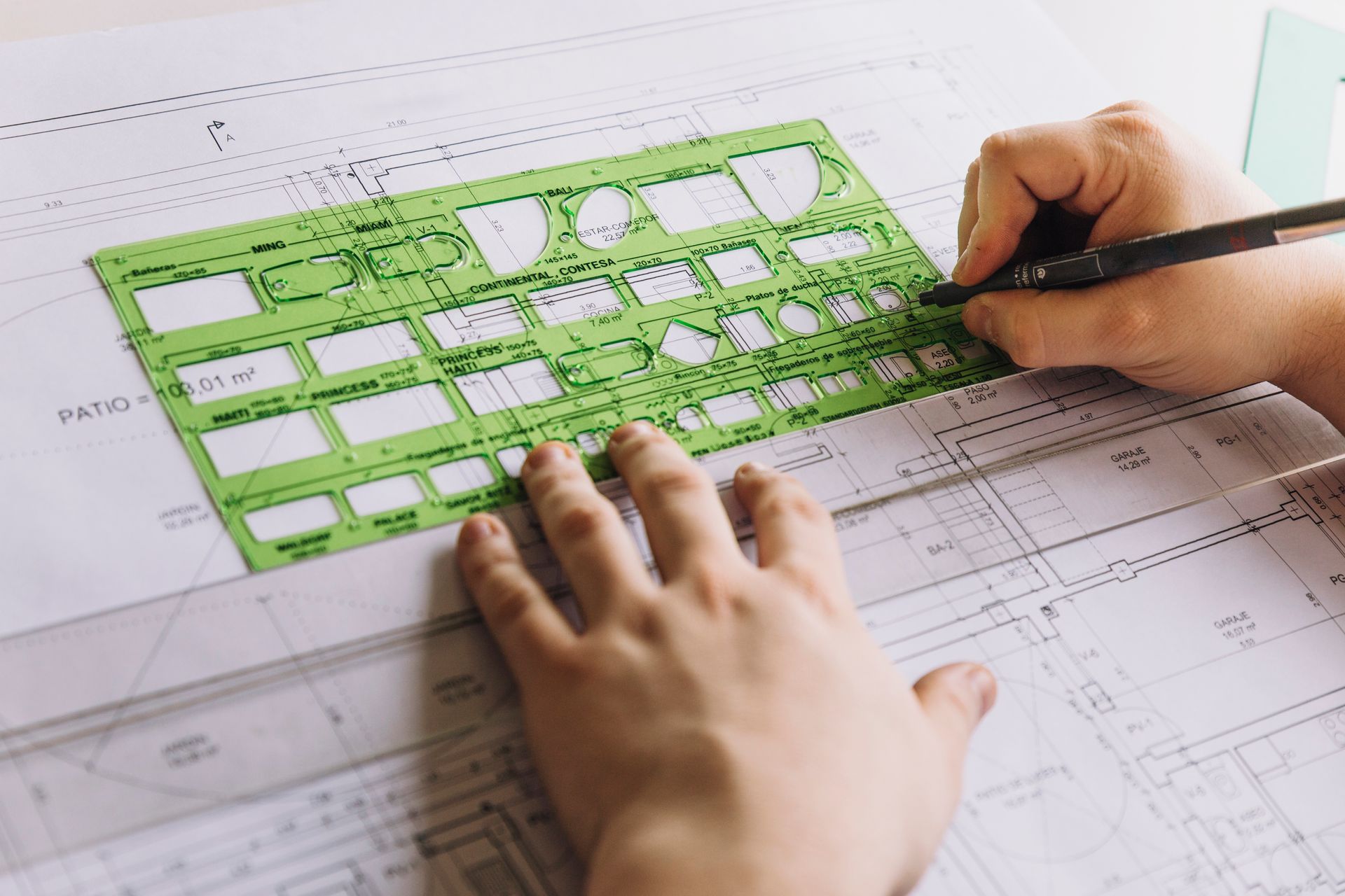
Turning Measurements into Easy Maps
Surveyors change raw numbers into simple maps, site plans, and digital models. These show homeowners, builders, and architects exactly what the land looks like.
These maps help prevent mistakes in construction, guide landscaping, and support property sales. They also make it easier to work with builders and local authorities, helping approvals go smoothly.
Survey maps can also be used to plan outdoor projects such as pools, patios, or driveways. By showing the exact boundaries and slopes, survey maps help ensure everything fits safely within the property.
Finding Problems Before They Happen
Good surveys show risks that may not be obvious, like slopes, access problems, or drainage issues. Finding these problems early stops construction delays and avoids disagreements with neighbors or the city.
Survey reports document everything clearly, giving clients a reliable record. Knowing exact boundaries and land features helps projects go smoothly.
For example, if a part of your property has uneven soil, surveyors can point this out before you start building. This allows you to make adjustments to your design, saving time and money.
Working Together for Better Projects
Surveying works best when surveyors share information with builders and designers. Accurate measurements make sure houses, fences, and roads go in the right place. This saves time and avoids extra costs.
Good communication between surveyors and construction teams ensures the project runs smoothly and follows the rules. Surveyors can also help architects plan additions to the property, ensuring that new structures are properly aligned with existing buildings and boundaries.
Smart Solutions for Hard-to-Survey Land
Some land is tricky, like steep hills or hard-to-reach areas. Surveyors use drones, 3D scanning, and aerial imaging to measure these lands without disturbing them. These methods make surveys accurate even on difficult properties.
Using these tools gives homeowners and developers confidence that every measurement is correct, no matter the land shape or size. For larger estates or commercial properties, these techniques save time and reduce the need for physical labor on rough terrain.
Sum Up:
At RealMapInfo LLC, our team gives exact land surveys using experience and smart tools. Whether you need a boundary survey, or a pool permit plot plan, we provide clear, easy-to-understand results. Our reports help clients make decisions and plan projects without worry.
Contact RealMapInfo LLC today to get your land surveyed and take the next step with confidence. Our surveys also help homeowners plan additions, build safely, and avoid legal issues with neighbors. Every project we handle receives detailed attention, combining technology and expertise for accurate results. Let RealMapInfo LLC guide your next project and provide the clarity you need to make confident decisions.
FAQs:
1. What is a land survey, and why is it needed?
A land survey shows exact property boundaries and land features. It helps avoid disputes and supports safe construction.
2. Who should use professional land surveying services?
Homeowners, builders, and property buyers use surveys to confirm boundaries and follow local rules.
3. How do surveyors measure land accurately?
They use GPS tools, laser scanners, and manual checks to measure distances and land features correctly.
4. Can a land survey help before building a structure?
Yes, surveys help place buildings, fences, and pools in the correct location within property limits.
5. Are survey reports useful for legal purposes?
Yes, survey reports are official documents used for permits, property sales, and boundary records.


Share On: