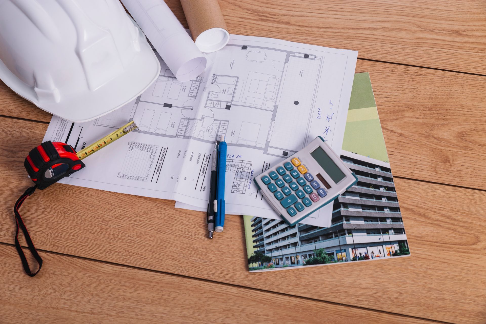
Are Your Property Lines Accurate Enough to Avoid Future Legal Issues?
Owning property is more than having a deed; it means knowing exactly where your land starts and ends. Even small mistakes with boundaries can lead to expensive disputes, construction delays, or fines. A property land survey gives homeowners a clear map of their land, protects their investment, and makes planning improvements easier. With a proper survey, you know the exact size and shape of your property, which helps in making informed decisions for construction, landscaping, or resale.
Why Your Fences May Not Tell the Truth
Many homeowners rely on fences, old markers, or memory to mark property lines. Over time, these markers can move, disappear, or be misunderstood. Relying on assumptions may cause you to accidentally cross into a neighbor’s land. Even a few inches can lead to disputes if structures are built on the wrong side of the line. A professional survey shows exactly where your property begins and ends, keeping your land fully protected. Knowing precise boundaries also helps prevent unintentional legal problems that could affect your home’s value.
Hidden Problems That Can Cost You
Encroachments are things like sheds, decks, or landscaping that extend beyond your property line. They often go unnoticed until disputes happen. A survey finds these problems early so you can fix them before they become legal issues. Addressing them early can save thousands of dollars in fines, removal costs, or court fees. Even small items, such as garden edging or fences, can create disagreements if they cross boundaries. A professional survey ensures that everything on your land belongs to you, giving peace of mind and clear ownership documentation.
Protect Your Investment and Future Projects
Your home is one of your biggest investments. Accurate surveys provide legal proof of boundaries, protecting your property during resale, loans, or insurance claims. They also prevent costly mistakes when adding new structures or landscaping. By knowing your land’s exact limits, you can safely plan any improvements or expansions. For example, if you plan to build a pool, a deck, or expand your driveway, a survey ensures all additions stay within your property and comply with local regulations. Clear documentation also makes your property more attractive to buyers, giving them confidence in their purchase.
Plan Construction Projects Without Risk
Building decks, garages, or fences without checking your property lines can cause disputes or fines. A property land survey gives clear measurements to guide construction projects. Local authorities often require survey documents to approve projects, avoiding delays. Accurate surveys also help contractors work efficiently and reduce errors. With a survey in hand, you can plan renovations or expansions with confidence, avoiding setbacks that occur from misaligned boundaries. Surveys are especially important for corner lots or irregularly shaped properties where assumptions are most likely to be wrong.
Know About Easements and Rules
Some properties have easements, shared paths, or utility lines. Many homeowners do not know about these, which can limit what you can build or change. Surveys show these areas so you can plan safely and avoid legal trouble. Knowing easement locations protects you from accidentally blocking access to utility lines or other property. It also ensures that future construction or landscaping plans follow local rules, preventing disputes with neighbors or municipal authorities. Being aware of restrictions before you start a project saves time, money, and frustration.
Modern Tools Make Surveys Accurate
Today’s surveys use GPS, laser scanning, and digital maps for very accurate results. Corners, distances, and elevations are measured precisely, creating easy-to-read maps. Digital surveys can be shared with builders, local officials, or buyers. Advanced tools reduce mistakes, save time, and make sure your property is legally protected. Many surveyors also provide 3D representations of the property, which makes it easy to visualize boundaries, slopes, and terrain features. Modern technology allows homeowners to see exactly where improvements can be safely placed.
Avoid Disputes With Neighbors
Conflicts often start over fences, driveways, or shared areas. A professional survey gives proof of boundaries, lowering the chance of disputes. It also helps neighbors understand property lines and provides evidence if disagreements grow. Having clear boundary documentation can prevent arguments before they start. It also provides neutral proof in case legal intervention becomes necessary, protecting both your property and relationships with neighbors.
Ending Note:
At RealMapInfo LLC, we provide accurate property land survey services. Our team checks every corner and line carefully. We also help homeowners with zoning board of appeals, making approvals simple and clear. We guide you from surveying your land to planning future projects, keeping your property safe and documented. Our surveys include detailed maps and clear explanations of easements, property lines, and restrictions, making it easy for you to plan improvements, build structures, or resolve boundary questions. With our support, you can move forward confidently, knowing your land is fully protected.
Taking action now secures your property and avoids problems later. A survey today prevents disputes, ensures accurate planning, and protects your investment for years to come.
FAQs:
Q1: What is a property land survey?
It is a professional process to measure and document your property boundaries accurately.
Q2: Why should I get a survey before building?
It ensures structures stay within your land and prevents disputes with neighbors.
Q3: Can a survey identify hidden easements or restrictions?
Yes, it reveals utility lines, shared paths, and legal limitations affecting property use.
Q4: How often should I have my property surveyed?
Surveys are recommended before construction, land purchase, or when boundaries are unclear or disputed.
Q5: How does a survey help with legal issues?
It provides proof of boundaries, reducing conflicts and supporting zoning or municipal approvals.


Share On: